Community Corner
Derecho Potential: Major Storm Could Bring 'Limbs and Trees Down,' Power Outages to Northern Virginia
A big line of thunderstorms and windstorms moving east Wednesday and Thursday could have a major impact on Northern Virginia.

A network of damaging thunderstorms and winds could cause power outages and flooding in Northern Virginia, with isolated storms Wednesday night and a severe follow-up punch Thursday, according to weather forecasters.
The line of storms could cause a derecho, according to the National Weather Service. A derecho is a massive storm of strong straight-line winds. , and interrupted 911 and cell phone service.
Find out what's happening in Herndonwith free, real-time updates from Patch.
Here's what the weather experts have to say:
"The brunt of the storm will hit Thursday. I'm sure we'll see some limbs and trees down," Calvin Meadows, a meteorological technician in the National Weather Service's Sterling office, said Wednesday morning.
Find out what's happening in Herndonwith free, real-time updates from Patch.
Hail, wind, heavy rain and flooding are all possible, Meadows said. The National Weather Service forecast says winds of 40 to 50 miles per hour may be possible.
See:
- Northern Virginia Storm Safety: Social Media Accounts to Fan or Follow
When Will the Storms Start?
Meadows estimates the worst of the storm will hit Northern Virginia between late morning and early afternoon Thursday, with windy conditions continuing through midnight.
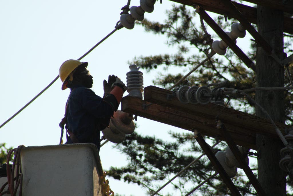
NBC-4's Tom Kiernan agrees, saying Wednesday morning that the larger threat is Thursday, with possible damaging winds. Winds could pull tree limbs down onto power lines, knocking out power.
Dominion Power tweeted Wednesday morning: "Our weather team is watching [and] tracking the storm system; crews will be ready."
Predictions by other local forecasters today:
Doug Kammerer, chief meteorologist for NBC-4, tweeted Wednesday morning: "The strong wind potential on Thursday is what we need to watch closely. Could be a high #wind event #StormTeam4 has you covered. #NBC4 at 11"
Brian van de Graaf, on ABC-7: "Slight risk for severe weather across the DC metro later today/tonight & a moderate risk for Thursday! Be Alert!" Flooding a big concern over next 2 days as the ground is saturated! Top rain totals since Andrea's soaking last week!"
WUSA-9: "Overnight Wednesday night and again on Thursday we are concerned with the possibility of big storms rolling in from Ohio and Pennsylvania that have the potential to bring damaging wind gusts. Thursday is currently 'Yellow Alert Day' with potentially severe storms and could even be upgraded to a 'Red Alert Day.'
What are your memories of the 2012 storm? Are you doing anything to prepare for this storm? Tell us in the comments.
Stay up-to-date on the latest news and events in your local neighborhood - follow Patch!
Sign up for Herndon Patch’s daily newsletter
"Like" us on Facebook
"Follow" us on Twitter
Get more local news delivered straight to your inbox. Sign up for free Patch newsletters and alerts.